Tucked into the Llŷn Peninsula in North Wales, the ridge of Yr Eifl hides one of the best-preserved Iron Age sites in Britain — the Tre’r Ceiri Hillfort — along with a string of neighbouring peaks including Garn Fôr. We covered this walk in one of our shorts, and it’s exactly the kind of route that rewards a bit of effort with genuinely big views.
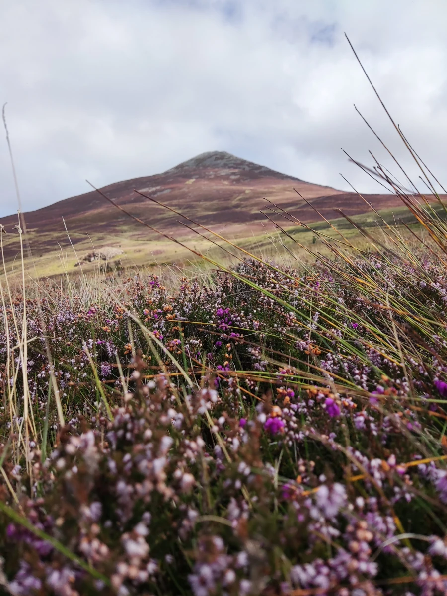
What Is Tre’r Ceiri Hillfort?
Tre’r Ceiri, meaning roughly “town of the giants,” sits at around 450 metres above sea level on the slopes of Yr Eifl. It’s considered one of the finest surviving hillforts in the UK, with stone ramparts still standing several feet thick in places and the remains of well over a hundred hut circles inside the walls. The site dates back to the later Iron Age and stayed in use into the Roman period — walking through it feels less like visiting a ruin and more like stepping into the layout of an actual settlement, which is fairly rare for a site this old.
The Garn Fôr Walk
Garn Fôr is one of the peaks along the same ridge as Tre’r Ceiri and Garn Ganol, and it’s a natural extension if you’re already up on this stretch of hillside. The walking here is genuinely rewarding: sea views out over Cardigan Bay on one side, the peaks of the Llŷn and further into Eryri (Snowdonia) on the other. It’s not a flat stroll — you’re on exposed upland terrain with a proper climb involved — but it’s the kind of route where the views keep improving the higher you get.
The Nearby Heritage Centre
Close to the start of the walk sits a heritage centre worth building into your visit, whether before or after you’re on the hill. It’s a good way to add some context to what you’re walking through — particularly useful if, like us, you want a bit more background on the area’s history before tackling the climb itself.
What to Wear
This isn’t a walk to underestimate just because it’s relatively short in distance. A few things worth planning for:
- Sturdy, proper hiking boots. The terrain is uneven, rocky in places, and can get genuinely slippery when wet — trainers aren’t a great idea here.
- A waterproof layer, even on a clear day. Weather on this exposed ridge can change quickly, and it’s noticeably windier and cooler up top than it looks from below.
- Warm layers regardless of season. Even in summer, the exposed upland terrain means it can feel considerably colder than at sea level once the wind picks up.
- Check the forecast before you go. Poor visibility or heavy rain can make both the footing and the navigation genuinely more difficult on this kind of terrain.
Getting There
The walk to Tre’r Ceiri typically starts from a car park near Llithfaen, with the route heading up onto the ridge from there. It’s roughly a 3-mile round trip to the hillfort itself with a moderate climb, and longer again if you’re extending the walk out to Garn Fôr and the other peaks along the ridge.
We’ve also filmed some of the scenery around the mountain in a few shorts — a good way to get a feel for the area before you go:

Official Information
For background on the hillfort and its protected status, Cadw — the Welsh Government’s historic environment service — has an overview here: Tre’r Ceiri Hillfort – Cadw. For the heritage centre nearby, check the official site: Nant Gwrtheyrn.
Final Thoughts
Tre’r Ceiri Hillfort and the Garn Fôr walk make for a genuinely rewarding stop if you’re exploring the Llŷn Peninsula — real history you can actually walk through, paired with some of the best coastal and mountain views in this part of Wales. Just come prepared: proper boots, layers, and a bit of respect for the exposed terrain go a long way here.

Nearby:
After the hike, Black Rock Sands makes a good way to cool off — it’s on the Llŷn Peninsula too, and lets you drive your car straight onto the beach (see our Black Rock Sands guide).
Planning more of Wales and the UK? Check our UK facts, UK ETA guide, and our Black Rock Sands guide for more of North Wales.
Watch the road trip
See Ireland from the driver's seat
Every stop on this blog is also on our YouTube channel — the drives, the detours and the van-life reality in between.
Subscribe on YouTube